I’ve been talking online GIS classes from Humboldt State University recently, and really enjoy them. Here are some maps from my assignments. I’ve learned a ton about spatial analysis, projections, basic cartography, ArcGIS, and also a lot about the geography of Humboldt County, CA.

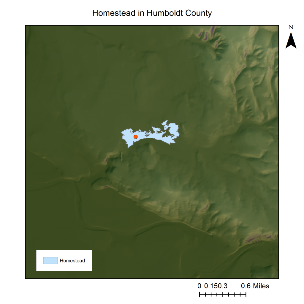
Figure 1. A raster map with a hillshade background layer.
Source: County of Humboldt GIS

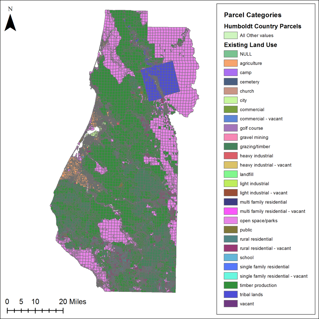
Figure 2. A vector map of parcels of land of Humboldt County.
Source: County of Humboldt GIS

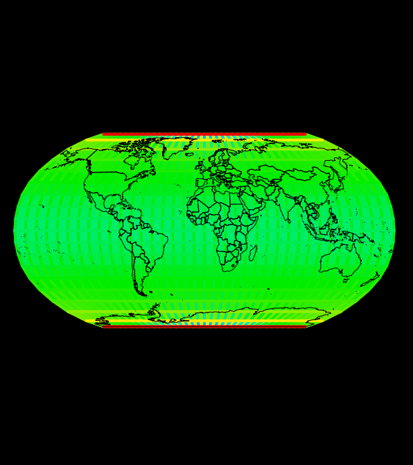
Figure 3. A Robinson projection of the world
Source: Bluespray


